
The Norman Number for Tuesday March 17 in Houston is 6.
Hope you enjoyed Monday's glimpses of sun. There will likely be less of that as the week continues. High pressure in the northern Gulf allows a steady southerly flow to return to southeast Texas. That will mean more humid days ahead and could allow for some rain to return as an upper-level disturbance moves in from the Hill Country. This has been a recurring theme the past few weeks and it looks like the beat goes on.
Additionally, Tuesday and Wednesday morning will begin with widespread fog which could greatly reduce the visibility, especially along the coast.
As for the rain,its looking more and more like the bulk of the steadier, heavier rainfall will be across north Texas, but a few showers are possible in southeast Texas. Here's what the Monday nigth models are projecting for 7 am Wednesday:

By the weekend, another system moves in from the Hill Country, making for a soggy first weekend of Spring:
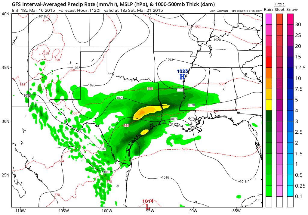
This is the kind of weather pattern that could bring severe weather down the road, if it persists.
No comments:
Post a Comment